
Mapperoni

Survey forms + collaborative maps.

Professionals around the world use mapperoni to collect data. For public participation, urban planning, academic research and more.

Product Overview

What is Mapperoni?

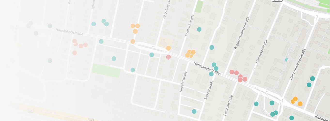
Mapperoni is a tool for creating user-friendly survey forms. These survey forms can include collaborative maps, so you can invite people to mark and describe spatial data right on the map.

Mapperoni projects are simple, shareable webpages that can include form fields, maps, media and more. You can create and share a project in seconds, for free.

Mapperoni park cleanup request survey displayed on a laptop

Key features

  • Design the perfect survey with advanced settings like conditional logic, privacy and access control, and form field validation.
  • Secure, private & compliant. Hosted in the EU 🇪🇺.
  • Mapping powers. Invite your respondents to draw on a map with points, lines and polygons.
  • Portable data. Easily export responses to CSV and GeoJSON.
  • Collaborative. Invite your team members to edit and manage your project together.

Who is it for?

Mapperoni is useful for anyone who wants to collect information from a large number of people. It is particularly loved by public agencies, planning consultants, and academics.

Here are some of our favorite examples so far:

  • A planning consultant helping their municipality improve bus and bike routes to schools.
  • A conservationist accepting reports of local species sightings.
  • A small city accepting fix-it ticket submissions and complaints.
  • A human rights organization fighting harassment, mapping unsafe areas, and connecting citizens to resources.
  • A distributed mesh-network mapping self-reported nodes around the world.
  • An event planner gathering info from their attendees.

Frequently Asked Questions

Is mapperoni only for maps?

No, it's a full-featured survey form builder too. You can use it to collect all kinds of data. It's a drop-in replacement for Google Forms, Typeform, Fillout, Jotform and other similar tools.

I just want to edit maps. Is this the right tool?

Yes, mapperoni is a good fit if you:

  • Want a simple, structured input for a small number of layers ✅
  • Want to collaborate with several editors ✅
  • Want to export to GeoJSON or take screenshots ✅

Mapperoni is not a good fit if you:

  • Have a large number of layers, basemaps etc. Try QGIS, Esri or Felt instead.
  • Want to perform advanced GIS analysis and data transformation. Try QGIS, Esri, or Felt instead.
  • Want to embed web-maps on your own website. Try Leaflet or Mapbox instead.

Can I upload my own geodata to the map?

This feature is on the roadmap but not yet implemented.

Does it work for offline data collection?

No. Mapperoni is a browser-based survey tool, so offline responses are not supported yet. Consider a mobile app like Esri's Survey123 instead.

Can I embed my project on other web pages?

Yes, you should be able to use an <iframe /> element. Please see our documentation on Sharing and privacy

What is collaborative and crowd-sourced mapping?

Collaborative and crowd-sourced mapping involves asking a bunch of people to mark stuff on a map. It has other names as well:

  • VGI - Volunteered Geographic Information
  • PPGIS - Public Participation GIS
  • Neogeography
  • Participatory Geoweb
  • Community Mapping
  • Multiplayer Mapping

Get Started

Log in

Create a shareable project and start collecting responses immediately.

See the demo

Click around a real Mapperoni project!

Quickstart guide

Get up and running in seconds. Zero experience required.

Pricing

Free to start, affordable to grow. Special discounts for projects we like.